
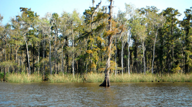
Louisiana’s Vital Wetlands
Some unexpected good news was announced by Army Corps of Engineers Monday (April 2). It has moved up the anticipated completion of the complex permitting process for the proposed Mid-Barataria Sediment Diversion to Nov. 16, 2020, reducing the permitting time by two years. Learn more at nola.com.

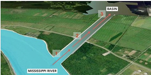
Mississippi’s changing delta: Stunning satellite images reveal new land forming at a rate of a square mile a YEAR! While most of the delta plain of the Mississippi River Delta is losing ground, NASA images show new land is forming in Atchafalaya Bay. We must utilize the land-building potential of the Mississippi with Fresh Water Diversion Projects throughout Southeastern Louisiana. …

A striking NASA animation shows all of the rivers that drain into the Mississippi River. The Mississippi River drains all or parts of 31 states and two Canadian provinces, the largest drainage basin in North America at nearly one-and-a-quarter million square miles. View the animation on Fox8live.com.